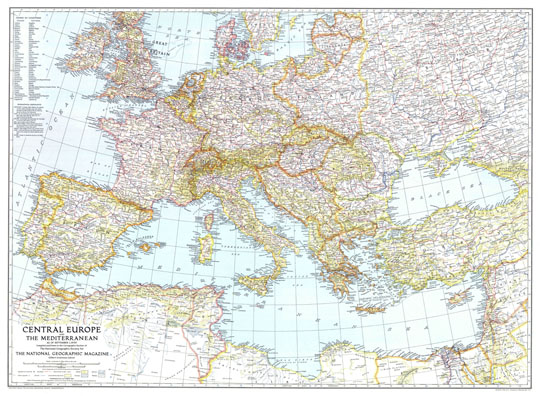
161939 Центральная Европа 1:5M
Карта Центральной Европы и Средиземноморья. Central Europe and Mediterranean as of September 1, 1939. Compiled and Drawn in the Cartographic Section of The National Geographic Society for The National Geographic Magazine. Washington, October 1939. Масштаб 1:5,000,000.