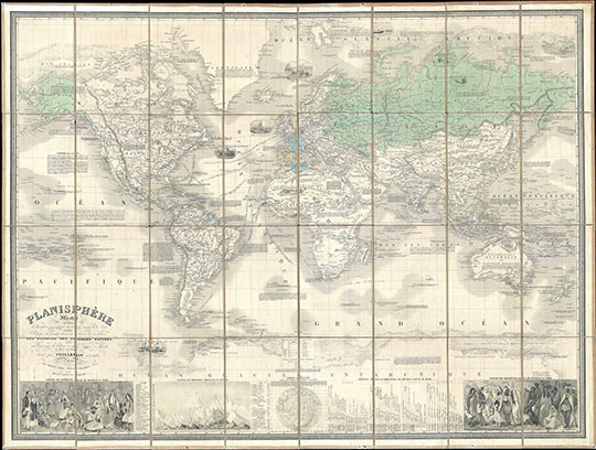
161857 Французская карта мира
Французская карта мира в проекции Меркатора. 85.09 x 114.3 cm. 1857 Vuillemin Case Map of the World on Mercator's Projection. Planisphere Illustre presentant la description geographique des parties connues de la Terre. Indiquant l’epoque des grandes decouverts et le nom des navigateurs. Les Colonies des diverses nations ainsi que la parcours des bateaux a vapeur, l’ epoque des departes la duree du trajet et c. dresse par Vuillemin geographe. (Famous World Map presenting the geographical description of the known parts of the Earth. Indicating the time of great discoveries and the name of the navigators. The Colonies of the various nations as well as the course of steamers, the times departure and the duration of the journies, etc. Drafted by Vuillemin Geographer.)