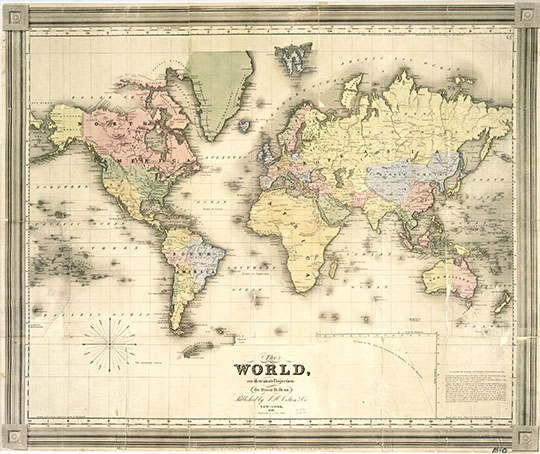
161840 Карта мира издания Бурр 1:75M
Карта мира издания Бурр. Масштаб 1:75,000,000. 53 х 59 см. The World, on Mercator's Projection: By David H. Burr. Showing the different Routes to California, and distance by each; Routes of different Navigators, Route of the contemplated Pacific R.Road, Distances to China, Europe, & c. Published by J. Haven, 86 State St. Boston; 1850. Entered ... 1850 by John Hansen ... Massachusetts. (with) two inset maps: Map of the Nicaragaua Route and A Map of the Proposed Rail Road from St. Louis To The Bay Of St. Francisco, Compiled from the Maps and Reports of Col. Fremont, by W.L. Dearborn, Civil Engineer.