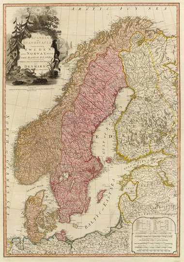
161794 Карта Скандинавии
Карта Скандинавских стран. Scandia or Scandinavia, comprehending Sweden and Norway, with the Danish islands; to which is added the remainder of the possessions of Denmark. By L.S. Delarochette. London: published by Wm. Faden, Geographer to the King, and to His R.H. the Prince of Wales, February 10th, 1794. Wm. Palmer sculp. 73х50см. Масштаб 1:3,050,000.