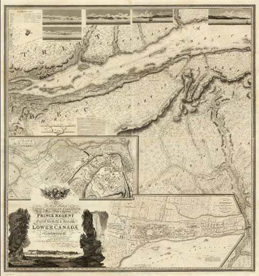
151815 План Монреаля 1:174K
План Монреаля. To His Royal Highness George Augustus Frederick. This Topographical map of the Province of Lower Canada, shewing its division into Districts, Counties, Seigniories, & Townships. Published by W. Faden, Charing Cross, Augst. 12th. 1815. Engraved by J. Walker & Sons, 47 Bernard Street, Russell Square, London. J. Walker sculp. (with) Town of Three Rivers. (with) City of Quebec. (with) Town of Montreal. 133х134см. Масштаб 1:174240