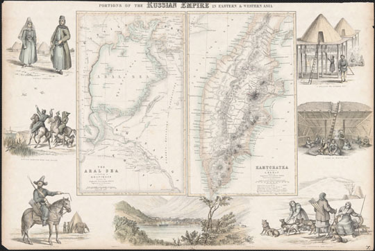
1418601 Карта Камчатки
Карта Камчатки. Фрагмент цветной гравюры. Components: The Aral Sea according to Khanikoff -- Kamchatka according to A. Erman. Relief shown by hachures and spot heights. No. 8 from Fullarton's Royal Illustrated Atlas of Modern Geography. Includes seven illustrations in the border depicting lifestyles of the regions represented in the maps. Maps engraved by G.H. Swanston, border illustrations engraved by J. Dunlop. In color. Published in London by A. Fullarton in 1860.