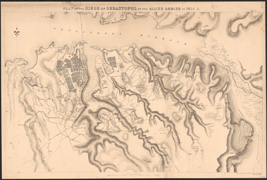
1418553 План Севастополя
План осады Севастополя силами союзных армий. Plan of the siege of Sevastopol by the allied armies in 1854-1855. 60.3 x 97.4 cm. [Southhampton, Eng.] : Lithographed and printed at the Topographical Depot, War Department, under the direction of Capt. Elphinstone, H. James, Col. R.E., Superintendent, [1858].